Maximizing Efficiency with UHF Radios in Surveying and Mapping
Understanding UHF Radios in Surveying UHF radios are a critical component in modern surveying…

Advanced Mapping Techniques Using GNSS and LiDAR
Advanced mapping technologies have become crucial tools in modern industries, especially those that…
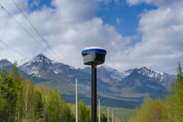
Leveraging RTK for Real-Time Surveying Precision
When it comes to surveying, precision is everything. Whether you're mapping out a construction…

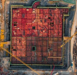
How GNSS Enhances Precision in Construction Site Surveys
Construction projects today demand pinpoint accuracy, especially when it comes to site surveys.…