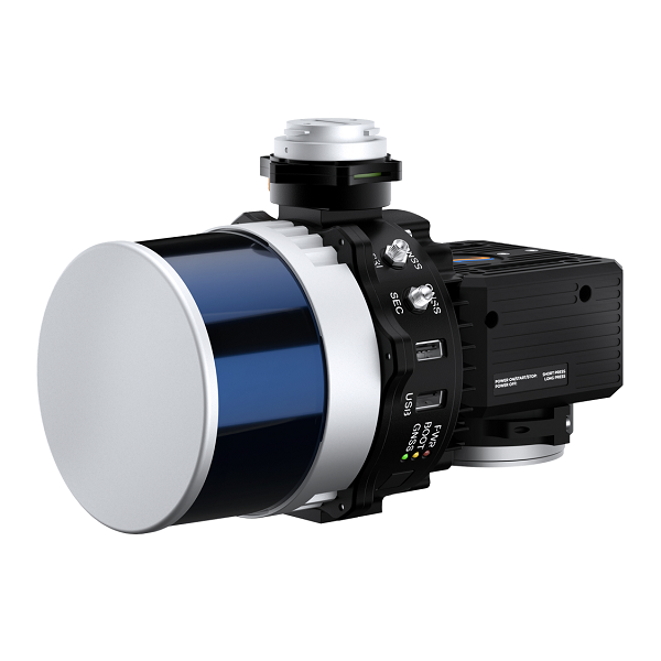
RESEPI Hesai XT-32M2X Drone LiDAR Payload
The RESEPI Hesai XT-32M2X drone LiDAR payload makes use of Hesai's enhanced M2X LiDAR scanner featuring lighter weight and extended detection compared to the Hesai XT-32 LiDAR. It enables an M2X-equipped RESEPI to fly longer, combined with a higher recommended AGL and wider vertical FOV to more effectively map larger areas and sites with dense vegetation cover. It offers the benefits of best-in-class data accuracy, better detection range, high point density, and versatility.
Description
Overview
The RESEPI Hesai XT-32M2X drone LiDAR payload makes use of Hesai’s enhanced M2X LiDAR scanner featuring lighter weight and extended detection compared to the Hesai XT-32 LiDAR. It enables an M2X-equipped RESEPI to fly longer, combined with a higher recommended AGL and wider vertical FOV to more effectively map larger areas and sites with dense vegetation cover. It offers the benefits of best-in-class data accuracy, better detection range, high point density, and versatility.
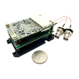
RESEPI™ (Remote Sensing Payload Instrument) is a sensor-fusion platform designed for accuracy-focused remote sensing applications. RESEPI utilizes a high-performance Inertial Labs INS (GPS-Aided Inertial Navigation System) with a tactical-grade IMU and a high-accuracy single or dual-antenna GNSS receiver, integrated with a Linux-based processing core and data-logging software. The platform also provides a WiFi interface, optional imaging module, and external cellular modem for RTCM corrections. RESEPI can be operated by a single hardware button or from a wirelessly connected device via a simple web interface.
Applications
The RESEPI XT-32M2X aerial LiDAR solution was strategically designed for multiple application bases with mounting options for mobile vehicles, DJI supported drones (DJI M300, M600 Pro), custom drones, handheld platforms, vehicles, the Freefly Alta-X, and many more. Because of this diverse mounting portfolio, RESEPI XT-32M2X can be used for many services including utilities mapping (power lines), construction volumetrics, site surveying, precision agriculture, forestry, mining operations, and much more.
Technical Specifications
| System | |
| System Vertical Accuracy: | 2 – 3 cm |
| Precision: | 2 – 4 cm |
| Precision (1σ Noise Removal): | 1.5 – 2.5 cm |
| Recommended AGL: | Up to 150 m |
| Weight: | 1.4 kg (with camera), 1.0 kg (without camera) |
| Dimensions: | 20.8 x 16.5 x 14.2 cm |
| Max Flight Time: | 33 minutes (DJI M300) |
| External Storage: | 256 GB USB Included |
| System Computer: | Quad Core, 1GB RAM, 8GB eMMC |
| Operational Voltage Range: | 9-45V |
| Power Consumption: | 17W |
| LiDAR | |
| Laser Range Capabilities: | 80m @ 10% ref. (all channels); 0.05 to 300m |
| Range Accuracy: | +/- 1 cm |
| FOV (Horizontal): | 360° |
| FOV (Vertical): | 40.3° |
| Scan Angle (Vertical): | -20.8° to 19.5° |
| Beam Divergence: | 0.21° (H), 0.047° (V) |
| Number of Lasers: | 32 |
| Number of Returns: | 3 |
| Pulse Rate: | 640k/s (single return); 1280k/s (dual return); 1920k/s (triple return) |
| Camera | |
| Model: | 24MP RGB Mapping Camera |
| Lens: | Sony E-Mount 16mm, 70° FOV |
| Max Trigger Rate: | 2 seconds |
| External Camera Support: | Yes |
| Software | |
| Field Checks: | Yes, Included |
| Pre-Processing: | Yes, Included |
| Post-Processing: | Yes, Supported |
| GPS-Aided INS | |
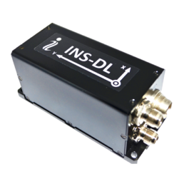
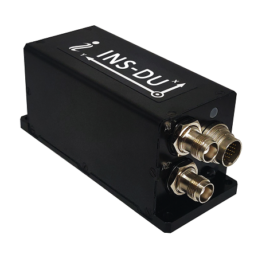
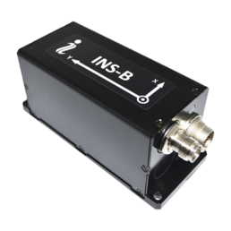
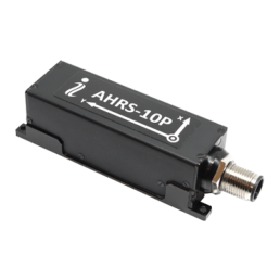
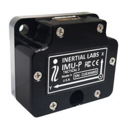
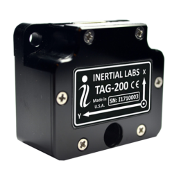
| IMU: | Inertial Labs Tactical Grade IMU-P |
| GNSS: | Single or Dual Antenna |
| Constellations: | GPS, GLONASS, Galileo, BeiDou, QZSS, NavIC (IRNSS), SBAS, L-Band |
| Frequencies: | L1, L2, L5 |
| Operation Modes: | RTK and PPK |
| Output Rates: | Up to 200Hz (INS); Up to 2,000Hz (IMU) |
| Pitch/Roll Accuracy: | 0.03° (RTK); 0.006° (PPK) |
| Heading Accuracy: | 0.15° (RTK); 0.03° (PPK) |
| Velocity Accuracy: | <0.03 m/s |
| Position Accuracy: | 1cm + 1ppm (RTK); 0.5cm (PPK) |
Videos
Warranty
Inertial Labs products are covered under their 15-month standard warranty. Inertial Labs will repair or replace products with design or manufacturing defects, for a period of 15 months from the date of purchase.
Why Buy from Us?
In business since 2004, Canal Geomatics is an authorized dealer for Inertial Labs and has established itself as an industry-leading distributor of high-precision positioning products in North America. Our mission is to find the best solution for each unique application and extend premium support to ensure the long-term success of our customers. We offer both volume and reseller discounts for the majority of our product lines.
Ordering
The RESEPI Hesai XT-32M2X drone LiDAR payload from Inertial Labs is available through Canal Geomatics. If you would like more information about this product, please feel free to get in touch with us by completing the Request Pricing form.