Uinta Mapping Software
Tired of complex and expensive mapping software with limited abilities to customize for your job? Train new users in minutes with Uinta mapping and form data collection software from Juniper Systems. Uinta offers a powerful hassle-free data collection tool at an affordable price for organizations that need accurate maps, asset management, form-based record keeping, or various other data collection needs.
Description
Overview
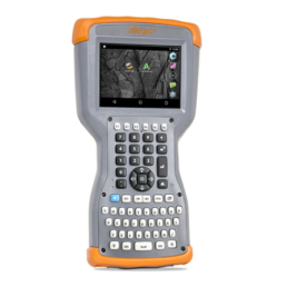
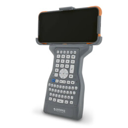
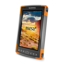
Introducing Uinta, a powerful hassle-free data collection software by Juniper Systems. Uinta’s data collection tools include detailed mapping with points, lines, areas, and form-based notes for digital record keeping. Uinta also includes a high level of customization specific to any organization’s data collection needs. This makes Uinta the new go-to mapping and data collection software. Uinta is available for Windows 10 devices, making it the best mapping software available for field crews taking advantage of the power of a full desktop OS on tablet computers. It also works great with the Mesa Rugged Tablet by Juniper Systems.
Data is at the heart of Uinta. Allowing organizations to easily collect and manage their data is at the foundation on which Uinta is built. Whether it’s paper forms or reports housed in various types of digital formats, Uinta brings simplicity and organization to data collection and storage in one central location. Replace those old files and hand-written forms with updated and customized digital forms.
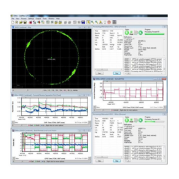
Professional mapping can be done by anyone when they have the right tools. Uinta was designed to offer simple, yet powerful mapping tools for users. Out of the box Uinta is equipped to deliver a professional mapping experience. A simplified user interface allows data collection to begin as soon as the application is loaded.
Easily create detailed maps using points, lines, and areas. These basic mapping inputs allow for clean and accurate maps and asset management. These also begin to take on more meaning as custom inputs for points, lines, and areas are created to replace the default mapping inputs.
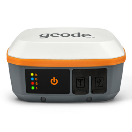
Uinta can utilize internal device GPS information or can be connected to powerful external GPS receivers like the Geode Sub-meter GPS Receiver by Juniper Systems via Bluetooth. This flexibility allows users the option to use the tools necessary to collect accurate data.
Uinta can easily be deployed in a variety of mapping and data collection industries. These industries include utility mapping, asset management, commercial irrigation mapping and water audits, utility pole mapping and inspection, natural resources, industrial asset inspection, harbor mooring, and even equine and veterinarian record keeping.
Features
- Efficient Data Capture
Replace paper forms with efficient electronic data entry forms, for use with or without maps - Professional Mapping
Quickly map points, lines, and areas. High-accuracy mapping supported - Customizable
Create custom project templates so field-collected data reflects your job(s) - User-friendly
Simple interface allows users to be trained and collecting data in minutes - Sharable
Export data to a file, print professional PDF map reports, and create optional cloud projects - Free & Live Support
Get a jump start on your project with help from Juniper Systems’ in-house customer success team
Videos
Why Buy from Us?
In business since 2004, Canal Geomatics is a Juniper Systems Premier Dealer and has established itself as an industry-leading distributor of high-precision positioning products in North America. Our mission is to find the best solution for each unique application and extend premium support to ensure the long-term success of our customers. We offer both volume and reseller discounts for the majority of our product lines.
Ordering
Uinta mapping software from Juniper Systems can be ordered through Canal Geomatics. If you would like more information about this software, please feel free to get in touch with us by completing the Request Pricing form.